- How to popularize scientific data?
- How to raise citizens’ awareness of the various water issues in a catchment basin?
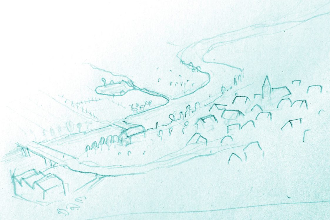
- How to highlight the evolution of the landscape and the impact of anthropization?
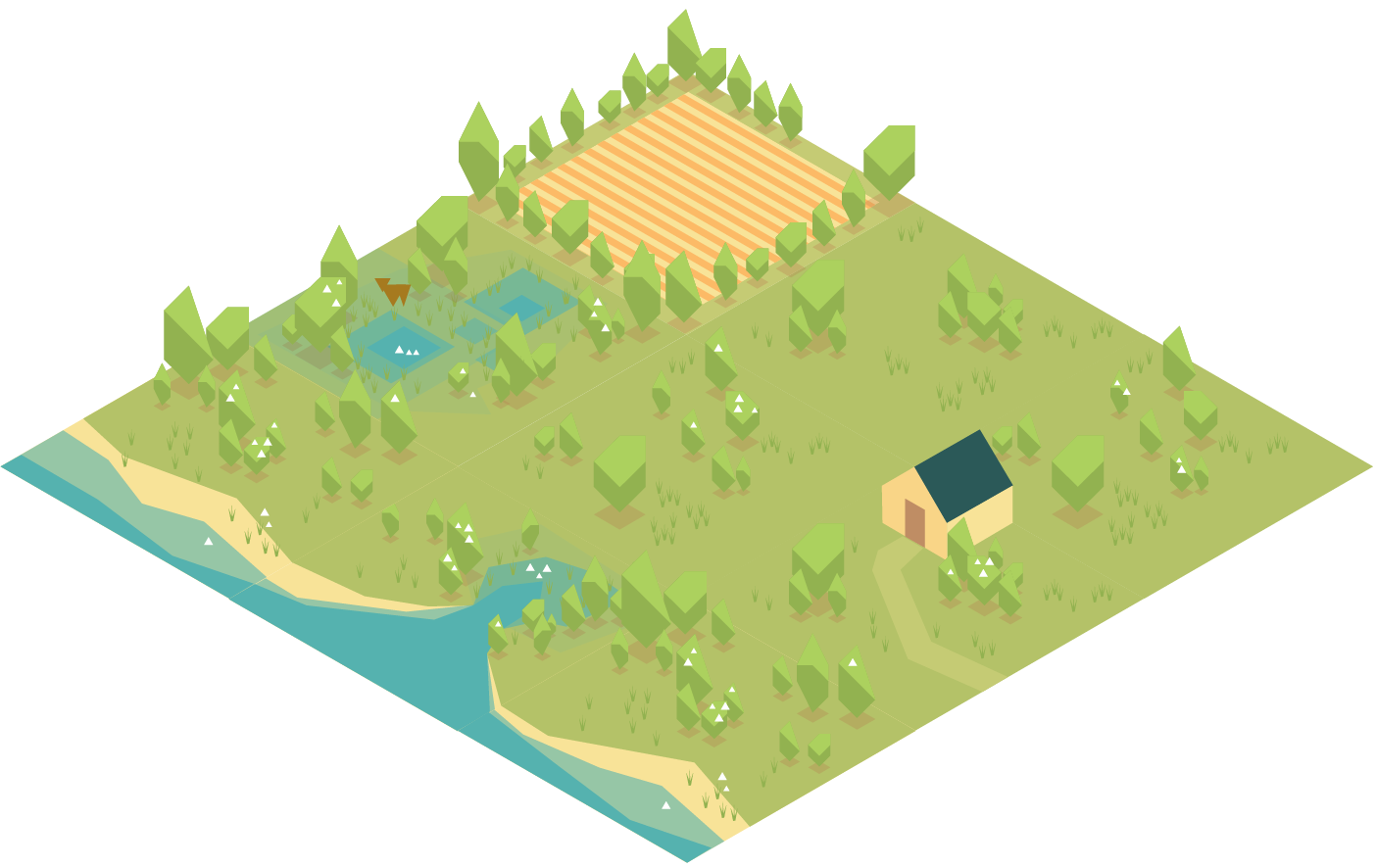
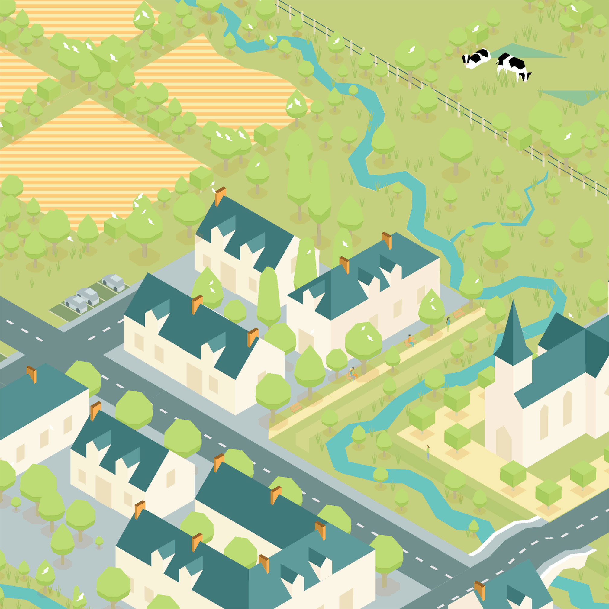
Simuleau is a catchment basin simulation. Users can interact with it depending on a role such as farmer, local councillor, inhabitant, etc.

The simulation is shown on a large screen (TV or video projector).
Each participant can take part connecting to a web address via a tablet or a smartphone (possibly provided by the facilitator).

The participant interface displays a sort of remote control. This remote control allows the participant to choose a role, which gives access to different types of actions, for example, changing the ploughing orientation if choosing to be a farmer, changing the road shoulders if local councillor, or changing the type of maintenance products if inhabitant.
As many users as available roles can simultaneously connect, their actions are reflected live on the large screen.
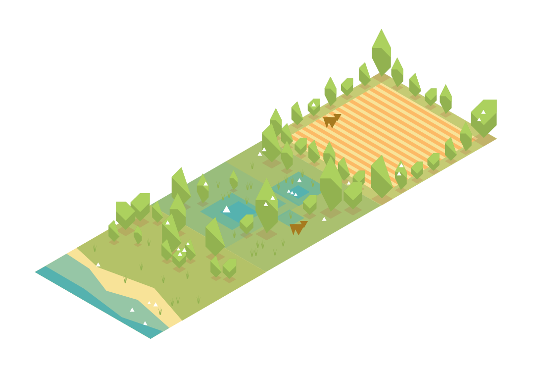
The actions directly and indirectly influence the visual aspect of the landscape. Each interaction has consequences on the water quality and the way it flows. The water quality and quantity in turn impacts the landscape.


Background
The Union Nationale des Centres Permanents d’Initiatives pour l’Environnement (UNCPIE) represents a network of associations working for a better consideration of the environment and sustainable development.
These associations use physical models of catchment basins to raise awareness on water issues during workshops. These models are playful, participative and didactic tools.
The CPIE of the Loire-Brittany basin needed a tool that is less physically restrictive and UNCPIE asked us to think about a digital system.